Spatial Data Science Lab of the Chesapeake Conservancy
At the Conservation Innovation Center (CIC), we serve as a catalyst for change, leveraging cutting-edge geospatial data science, artificial intelligence and advanced analytics to tackle pressing environmental and conservation challenges in the Chesapeake Bay watershed. Our goal is to transform data into precise and actionable insights that restore and sustain the Bay’s health for current and future generations.
The CIC has pioneered the use of high-resolution data products to deepen our understanding of both precision-based and landscape-scale conservation. Through strong public and private partnerships, the CIC's insights inform policies and drive targeted project priorities to maximize conservation outcomes. Using evidence-based strategies, quantifiable nature-based climate solutions and advanced analytics, we create innovative tools and analyses that empower evidence-based decision-making. Our approach results in significant and measurable impacts on our environment, safeguarding the vitality of the Chesapeake Bay.
Scroll down for more information, or to talk with our team of experts, email us at cic@chesapeakeconservancy.org.

What We Do

.png)
.png)

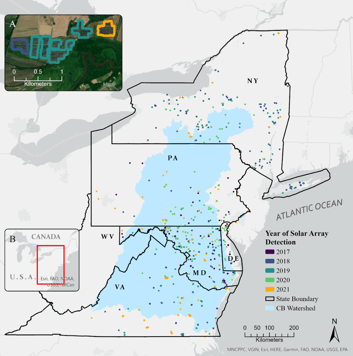
%20(2).png)


Products and Services We Offer
Our team at the CIC is dedicated to providing tailored products and services to meet your unique conservation and data needs. Whether you require advanced geospatial analytics, high-resolution data products, or strategic consulting, we collaborate closely with you to identify the root challenges of your project, ensuring we deliver data-driven solutions that empower your conservation efforts with actionable insights and impactful results.

Areas of Expertise
- Advanced GIS and Remote Sensing
- Precision Conservation & Restoration
- Artificial Intelligence/Data Science
- Web Applications
- Species Distribution Modeling
- Land Use Classification
- Prioritization Tools
- Land Cover Classification
- Hydrographic Modeling
- Habitat Modeling
- Viewshed Modeling
- Climate Resilience and Solutions
- Real-time Monitoring
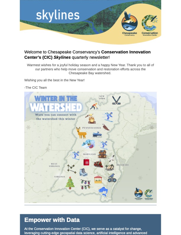
Skylines, Our Newsletter

Contact Us
We understand every stakeholder - big or small - plays a vital role in the health of the Chesapeake Bay watershed. Explore how our data-driven solutions can benefit your organization, we're here to help.