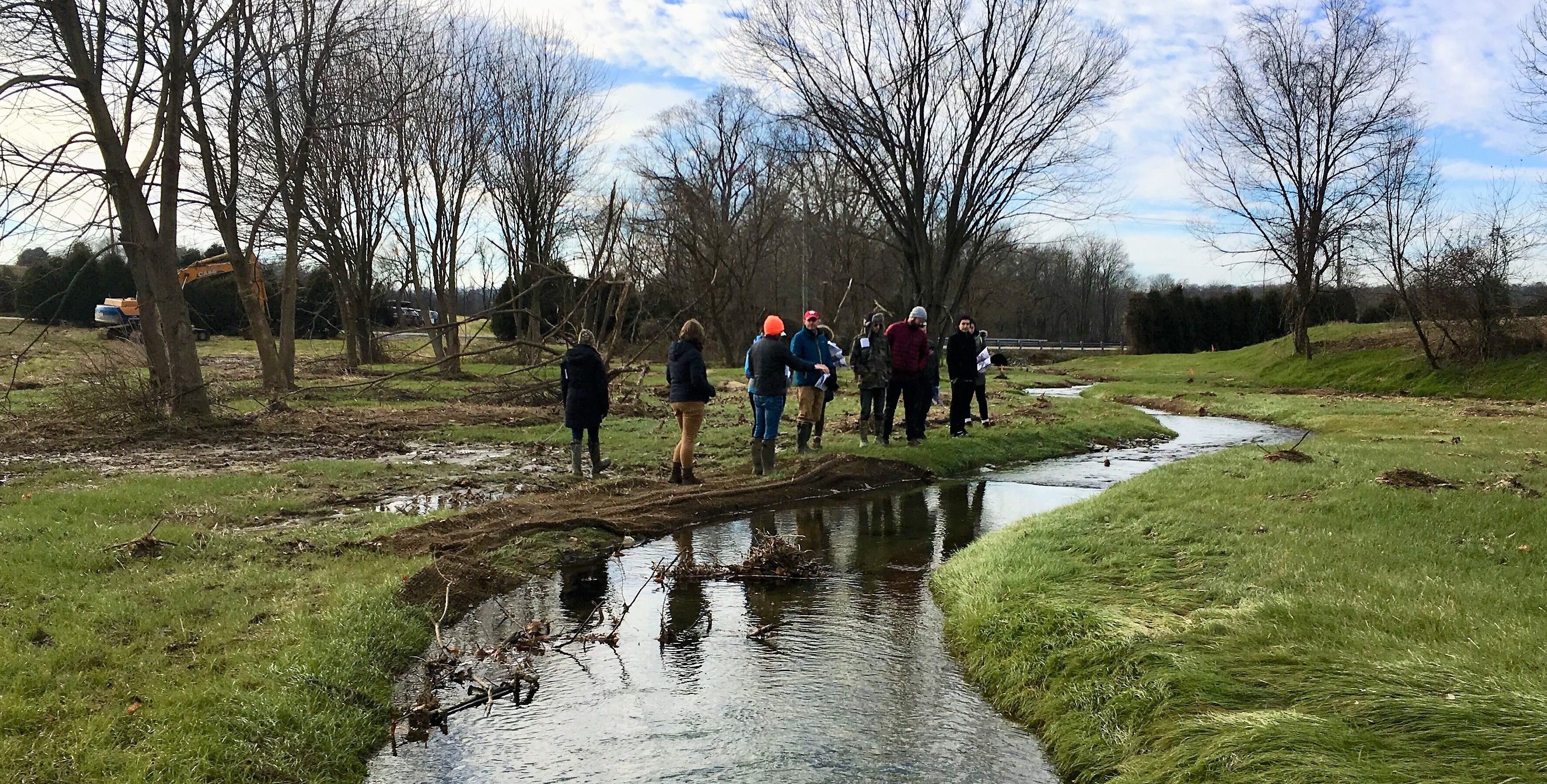
The CIC works with organizations of all types and sizes, including land trusts, community watershed organizations, soil and water conservation districts, private environmental firms, and local, state, and federal agencies. We emphasize the importance of understanding each organization’s unique challenges, designing customized solutions integrating geospatial data and analysis with hands-on training and tools.
Customize
The CIC develops applications that help our partners effectively reach their organizational goals using cutting-edge GIS tools and analyses. These tools allow users of all technical abilities to quickly and easily access the information they need to make evidence-based decisions about where to work.
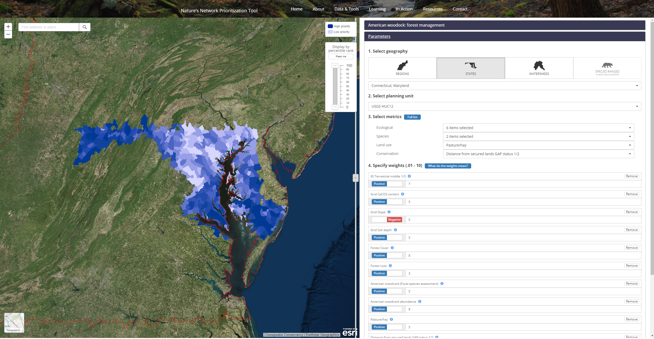
One example, shown on the right, is our Nature Network tool that incorporates over 150 different datasets from the Nature Conservancy and other partners into a web platform for conservation and restoration planning. Explore the tool HERE.
Prioritize
Restoration and conservation partners often require more advanced tools and geospatial analysis to prioritize their work and identify places where they can install best management practices (BMPs) to reduce soil loss and nutrient runoff, protect critical habitats, or restore scenic viewsheds.
The Conservancy has worked closely with these groups to provide desktop and web-enabled tools for calculating:
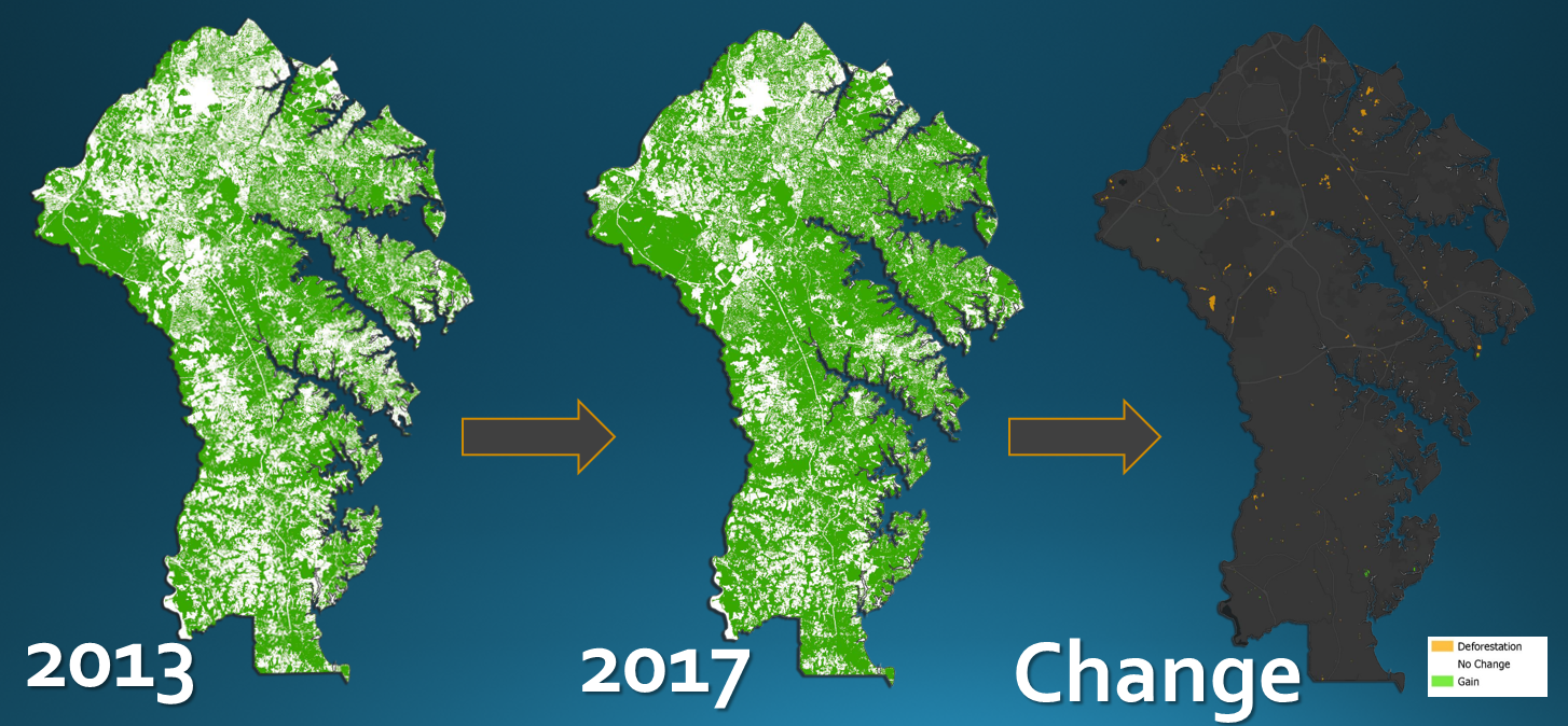
Change Analysis — Using high resolution land cover data to detect and analyze change in the land cover over time. For some projects, we use artificial intelligence.
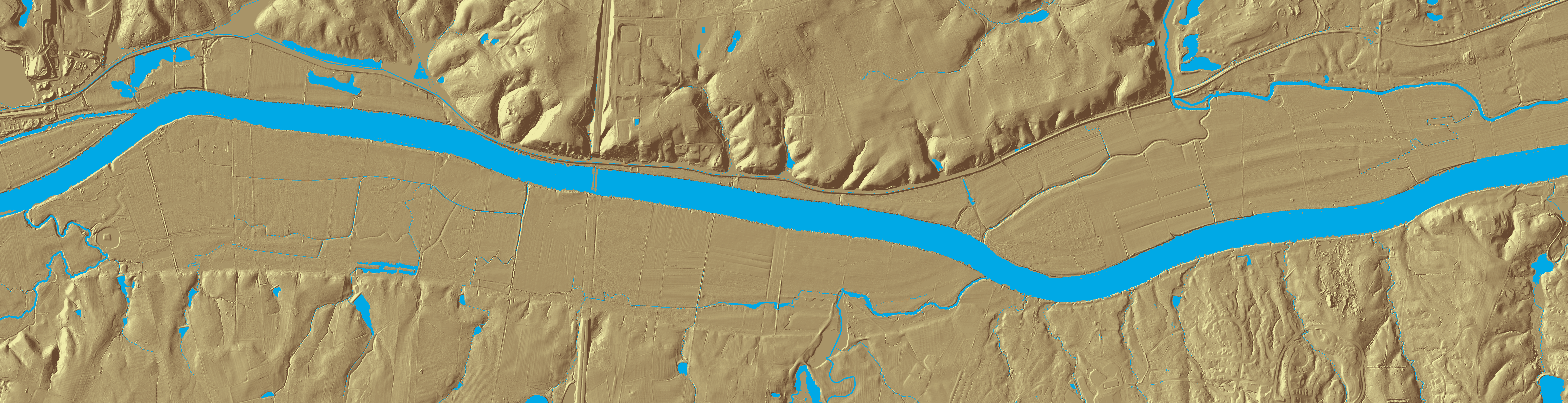
Flow Path Modeling – Calculate drainage basins and outlet points from a custom polygon, and produce maps that depict concentrated surface flow at the parcel scale.
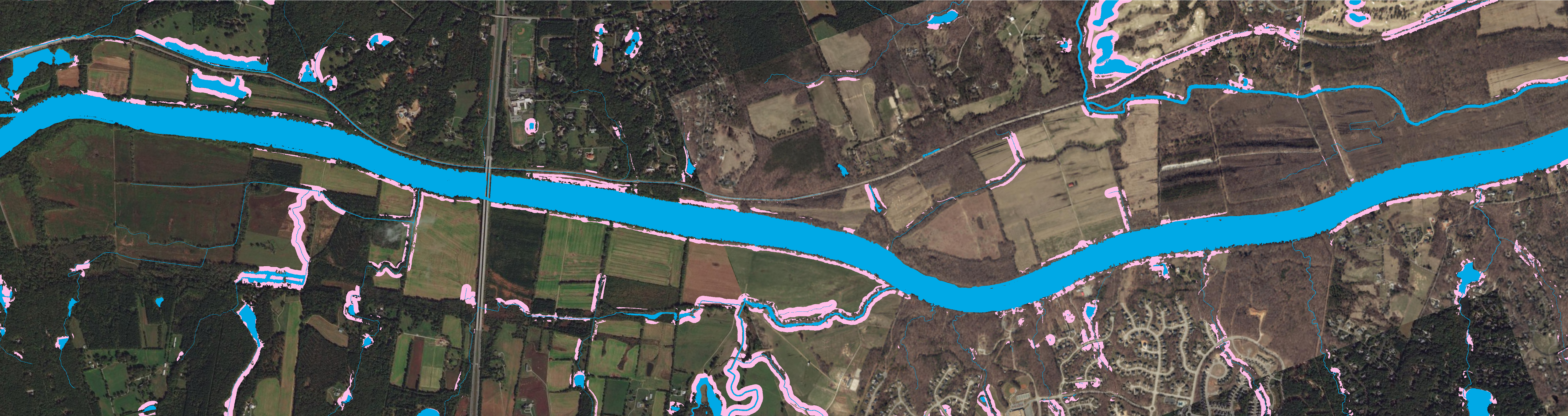
Riparian Buffer Gap Analysis – Locate and chractarize riparian buffer gaps for restoration based on high resolution elevation models, drainage area size, and land cover type
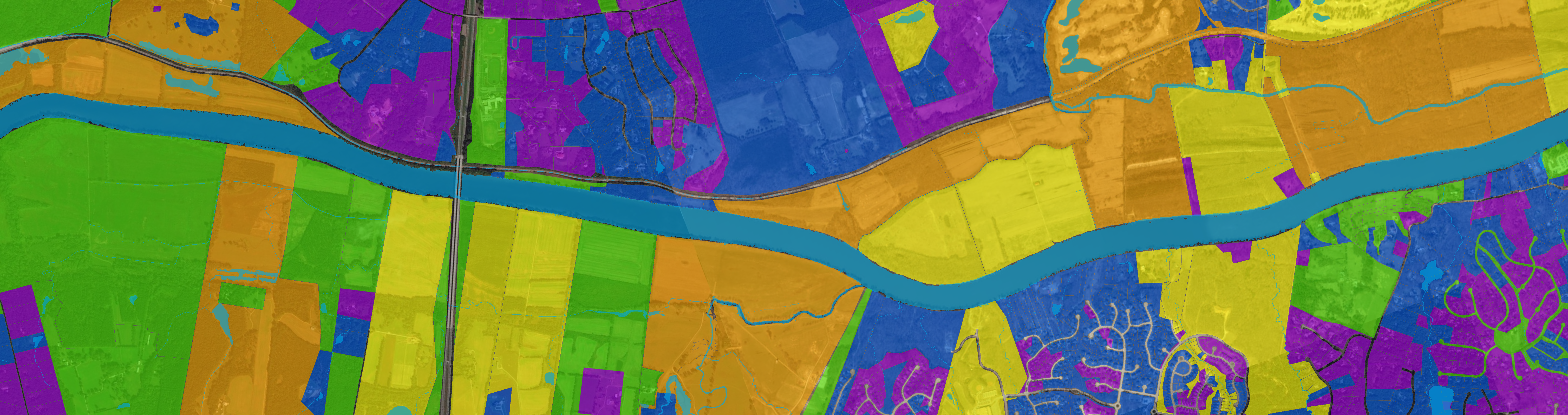
Prioritization – Identify and prioritize restorable land based on multiple characteristics
Collaborate
These conservation prioritization tools are powerful for a number of reasons, but perhaps most notably, because they allow for individual or collective use to identify opportunities for resource sharing and cooperative action among partner organizations.
This makes them ideal for stakeholder meetings or similar community-based conservation efforts that rely on finding common ground across multiple interests and perspectives.
Learn more about partnering with the CIC
Visit our Consulting Services page, or download a list of our Analysis and Planning services.