Boating
You can explore the Chesapeake Bay by boat and bring along the expertise of one of the Chesapeake’s most avid boaters – John Page Williams.
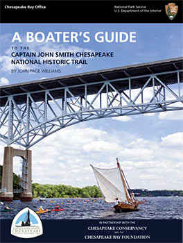
A Boater’s Guide to the Captain John Smith Chesapeake National Historic Trail (Chesapeake Trail) is a free online publication that introduces paddlers, skiffers, and cruisers to exploration of the Chesapeake Trail. Author John Page Williams expertly weaves practical information for today’s boaters with the historical context of the Chesapeake’s waters explored by Captain John Smith four centuries ago.
The guide is also available digitally through the Mobile Boater’s Guide App! Plan your trips with interactively on your computer, smartphone, or tablet.
Users of the Boater’s Guide can learn where the trailheads are (including GPS coordinates), see suggested trip itineraries, and compare on-the-water experiences for paddlecraft, skiffs and runabouts, and cruising powerboats and sailboats. The Guide’s interactive features include links to additional maps, NOAA’s Chesapeake Bay Interpretive Buoy System, navigation charts, and information on facilities and points of interest. Historical context for humans’ use of the Chesapeake supplements text about the Bay today. Guide users will be able to envision the Chesapeake as Captain John Smith saw it four hundred years ago, and as American Indian societies have experienced it for thousands of years.
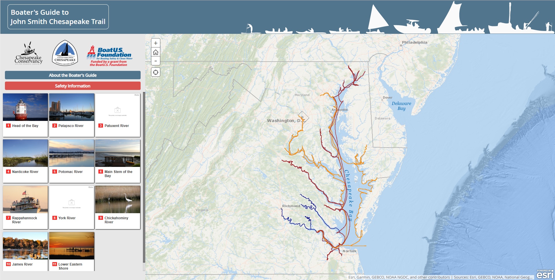
Any section of the Boater’s Guide can be downloaded and printed for excursions on the main stem, the head of the Bay, the lower eastern shore, and the James, Chickahominy, Rappahannock, York, Patuxent, Potomac, Patapsco, and the Nanticoke rivers.
The Guide is a joint project of the National Park Service Chesapeake Bay Office, the Chesapeake Conservancy, and the Chesapeake Bay Foundation and the first guide to America’s first national water trail.
The Chesapeake Trail was designated as part of the National Trails System in 2006. While this Boater’s Guide describes many places where boaters can access and explore the trail now, many more access areas and facilities will be added as the trail develops.
The Guide is a joint project of the National Park Service Chesapeake Bay Office, the Chesapeake Conservancy, and the Chesapeake Bay Foundation and the first guide to America’s first national water trail.
Any section of the Boater’s Guide can be downloaded and printed for excursions on the main stem, the head of the Bay, the lower eastern shore, and the James, Chickahominy, Rappahannock, York, Patuxent, Potomac, Patapsco, and the Nanticoke rivers. You can find the complete guide here.
The Captain John Smith Chesapeake National Historic Trail was designated as part of the National Trails System in 2006. While this Boater’s Guide describes many places where boaters can access and explore the trail now, many more access areas and facilities will be added as the trail develops. For this reason, the Boater’s Guide is an online publication, designed to be updated.