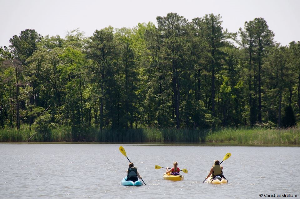
New state wildlife property below Concord Pond provides access to Deep Creek
DOVER (July 2, 2013) – A small property recently acquired by DNREC’s Division of Fish and Wildlife will make a big difference for kayakers and canoeists paddling and fishing Deep Creek near Seaford’s Concord Pond. Unimproved public access is available now, while future plans may include a formal canoe/kayak launch and possible improvements to enhance public shoreline fishing access and provide better but limited parking. The 1.7-acre Webb property is adjacent to Deep Creek on the west side of Concord Pond Road.
Concord Pond, most of which is owned by the Division of Fish and Wildlife, is managed by the Division as a freshwater fishery with public parking and boat access. It feeds into Deep Creek via a constructed spillway that is used to control water levels in the pond. Prior to the Webb property acquisition, anglers and paddlers had no convenient public access to Deep Creek and the upper Nanticoke River.
“This new area provides public access and enjoyment for paddlers and anglers visiting this beautiful part of western Sussex County,” said Division of Fish and Wildlife Director David Saveikis. “Paddlers and anglers can launch directly into Deep Creek, where they can paddle west to Seaford and south along the Nanticoke River to Woodland Ferry and points further downstream toward the Chesapeake Bay.”
Paddlers will be able to go from the new launch area to:
- Seaford Canoe/Kayak Launch, 3.7 miles
- Blades River Marina Park, 4.1 miles
- Seaford Riverview Park, 4.4 miles
- Phillips Landing, 10.7 miles
The new area is open to the public and provides unimproved access and parking. It is closed from sunset to sunrise, unless legally fishing.
The Webb property’s acquisition was made possible through a $40,000 allocation from the Delaware Open Space Program and a $20,000 donation through the Chesapeake Conservancy, a conservation partner with DNREC that focuses on natural resource protection and awareness within the Chesapeake Bay Watershed.
“This new access point will connect more people to one of the Chesapeake region’s great rivers, making it possible for them to experience the great fun to be had on the water and become familiar with the wealth of animal and plant life on this river,” said Joel Dunn, executive director of the Chesapeake Conservancy. “We were pleased to work with project advisor David Morine and partner with Delaware to create this site.” Dunn added that the launch also will connect people to the Captain John Smith Chesapeake National Historic Trail, which the Conservancy worked hard to create.
The new area becomes part of the Captain John Smith Chesapeake National Historic Trail, America’s first water-based national historic trail. It consists of the combined routes of Smith’s historic voyages on the Chesapeake Bay and its tributaries in 1607-1609. Designated by Congress in December 2006, the trail stretches approximately 3,000 miles up and down the Bay and along tributaries in Virginia, Maryland, Delaware, and the District of Columbia, and is administered by the National Park Service Chesapeake Bay Office.
NEWS FROM THE DELAWARE DEPARTMENT OF NATURAL RESOURCES AND ENVIRONMENTAL CONTROL
Contact: Joanna Wilson, DNREC Public Affairs, 302-739-9902