Chesapeake Conservancy Identifies Land Essential to Drinking Water Safety Collaborative Effort Focuses on West Virginia’s Eastern Panhandle
Annapolis, MD – Chesapeake Conservancy’s Conservation Innovation Center (CIC) recently joined with the Safe Water Conservation Collaborative, a vibrant network of more than 25 partners, including water utilities, land conservation organizations, and community groups working to protect safe, clean drinking water for communities in the Eastern Panhandle of West Virginia.
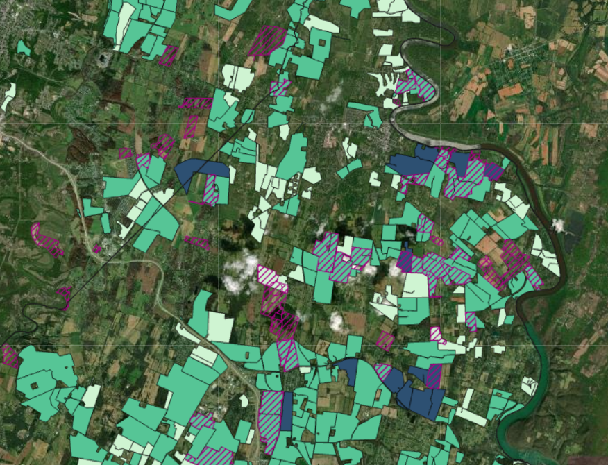
In June, the collaborative published an interactive map and a story map with support from the Land Trust Alliance’s Land & Water Initiative and the CIC to identify land in Jefferson and Berkeley counties essential to drinking water safety.”
“Land conservation has a direct impact on water quality,” said Chesapeake Conservancy’s Geospatial Analyst Mary Molloy. “By using GIS to prioritize conservation projects, together we can create more impact using fewer resources. This is precision conservation at work.”
